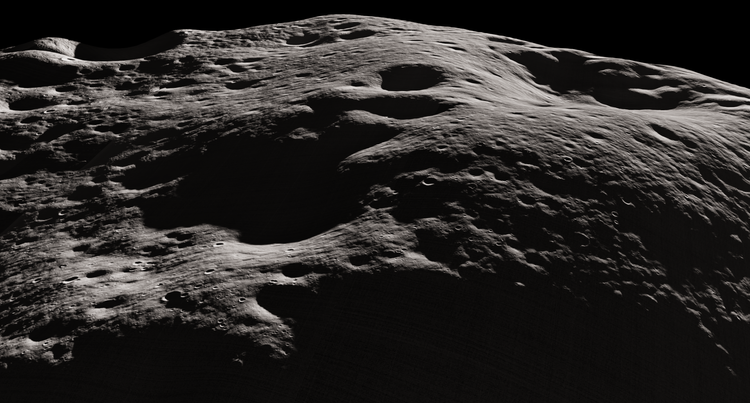
Pinpointing the South Pole of the Moon
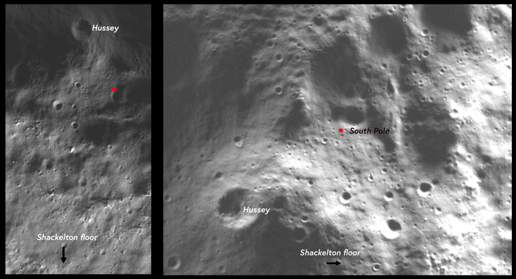
The clearest and most detailed view of the exact location of the Moon's South Pole possible through ShadowCam.
Whats a DTM/DEM ?
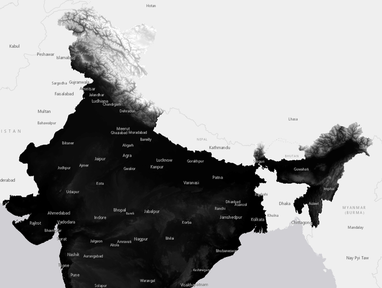
A Digital Elevation Model (DEM) is a 3D representation of elevation data for terrain or objects, applicable not just to
Where do I download science dataset of ISRO
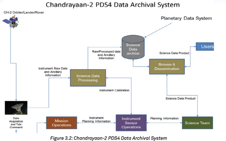
Indian Space Science Data Centre (ISSDC) is the prime data centre of the ISRO for all the science, lunar and
Whats a Shapefile?
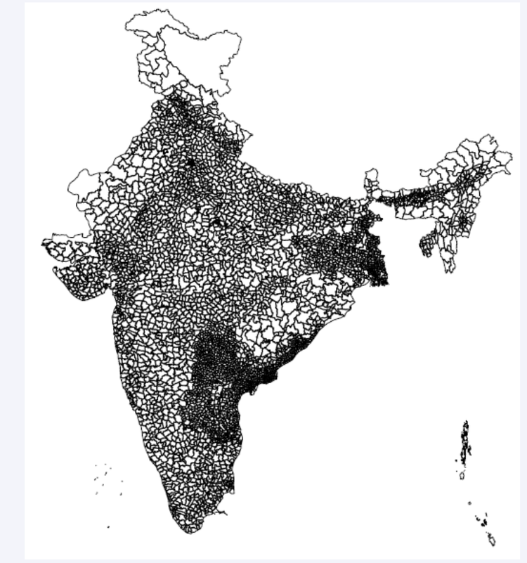
A shapefile is a data format used in Geographic Information Systems (GIS) for storing geospatial information. It contains both geometry
Issues with Chandrayaan 2 Science data
Issues with Chandrayaan 2 data that I found during my research
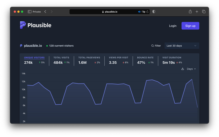
Creating a docker ready fork for Plausible Analytics
How I enabled Plausible ready for self hosting - creating a docker reading fork for Plausible Analytics
Coming soon in Long form
This blog is a natural extension of my posts on X ; Though X does offer to post content in long
