Byte-sized Tutorials
This is a live page where I publish concise tutorials focused on Space exploration, the Indian Space Research Organisation (ISRO), lunar missions, and the associated tooling.
Permanently Shadowed Regions
a short primer on Permanently Shadowed Regions of the South Pole region of the Moon
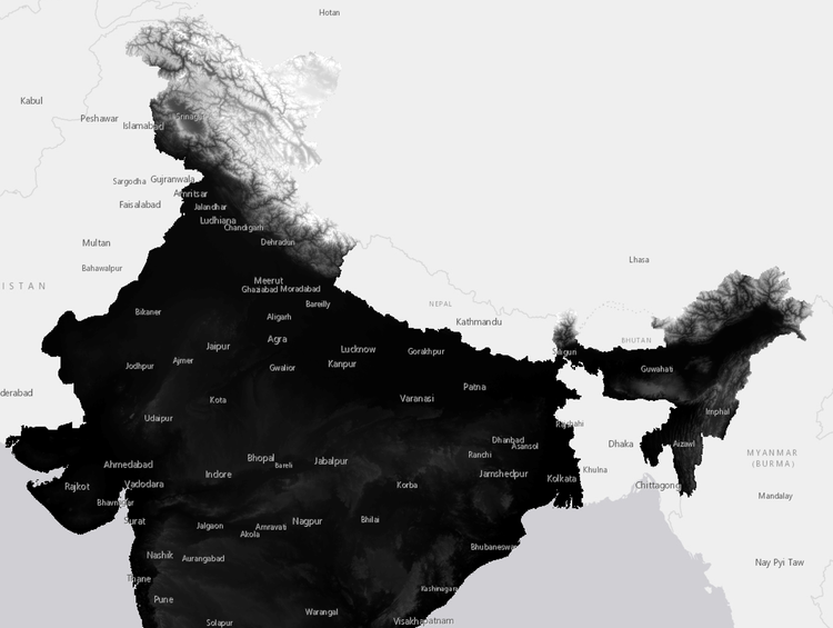
Whats a DTM/DEM ?
A Digital Elevation Model (DEM) is a 3D representation of elevation data for terrain or objects, applicable not just to
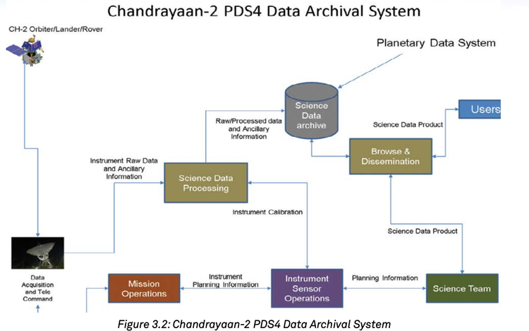
Where do I download science dataset of ISRO
Indian Space Science Data Centre (ISSDC) is the prime data centre of the ISRO for all the science, lunar and
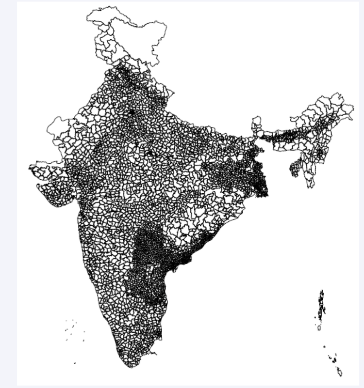
Whats a Shapefile?
A shapefile is a data format used in Geographic Information Systems (GIS) for storing geospatial information. It contains both geometry


