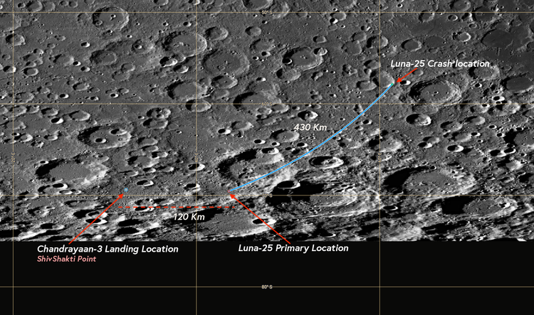
Revisiting the Luna 25 Impact site
The latest PDS data from LROC offers a clearer view of the Luna-25 impact site.
Tools of the trade
I share the tools integral to my analysis and workflow for creating visualizations and simulations.
Did the US soft-land on the South Pole of the Moon ?
I present my thoughts and analysis of the recent moon landing of the US carried out by IM with a question
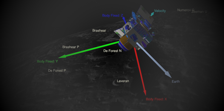
Show & Talk
my explorative tutorial series where I talk and show about my work in a series of virtual sessions.
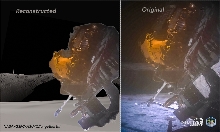
Post-Landing Terrain Assessment of the Intuitive Machines-1 Landing Site
A series of analyses on the actual landing site including 3d reconstruction of the landing site and slope analysis
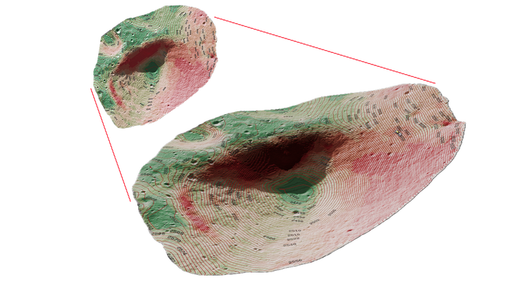
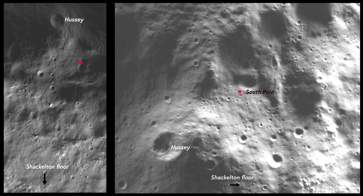
Pinpointing the South Pole of the Moon
The clearest and most detailed view of the exact location of the Moon's South Pole possible through ShadowCam.
Whats a DTM/DEM ?
A Digital Elevation Model (DEM) is a 3D representation of elevation data for terrain or objects, applicable not just to
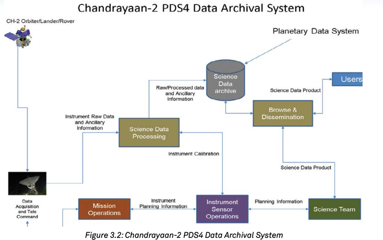
Where do I download science dataset of ISRO
Indian Space Science Data Centre (ISSDC) is the prime data centre of the ISRO for all the science, lunar and
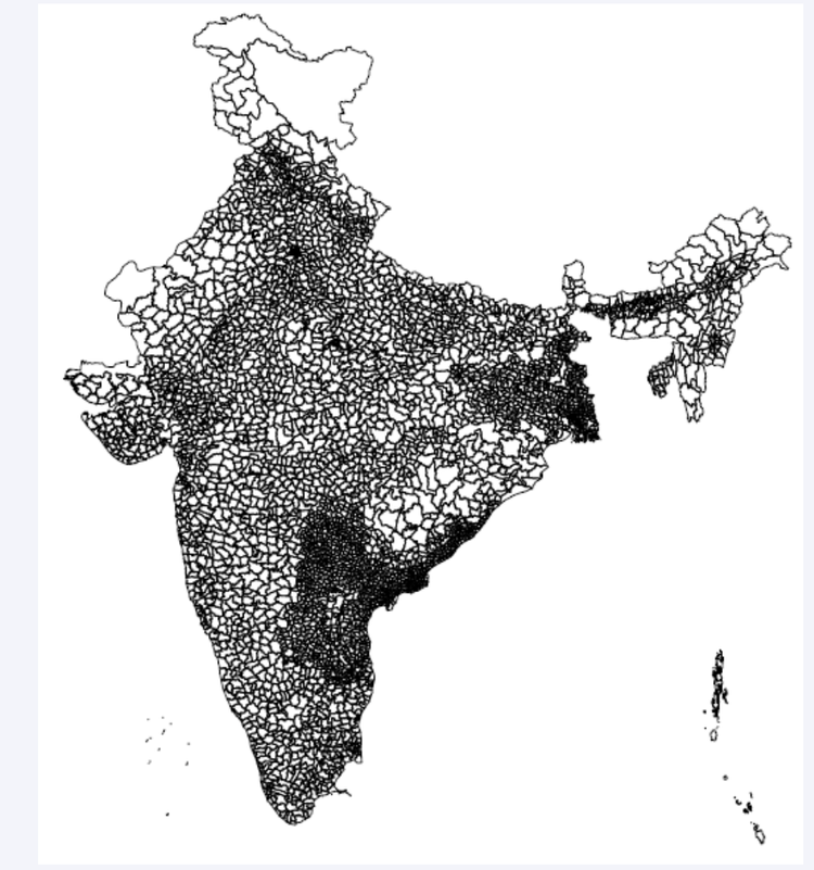
Whats a Shapefile?
A shapefile is a data format used in Geographic Information Systems (GIS) for storing geospatial information. It contains both geometry
Issues with Chandrayaan 2 Science data
Issues with Chandrayaan 2 data that I found during my research